Thank you for the great feedback from the previous post where I’ve shown you the first screenshots of Diving Log 6.0! Today I want to show you some screenshots of the new maps window. When you click on a dive site flag in version 5.0, the dive site shows up in the dive site window. In version 6.0, there is a new popup which shows you some detailed information right in the map window:

New popup with dive site details
When you click on the popup itself, the dive site window opens where you can view and edit all dive site data, just like in version 5. When you click on the dive site image it enlarges and you can view it right on top of the map.

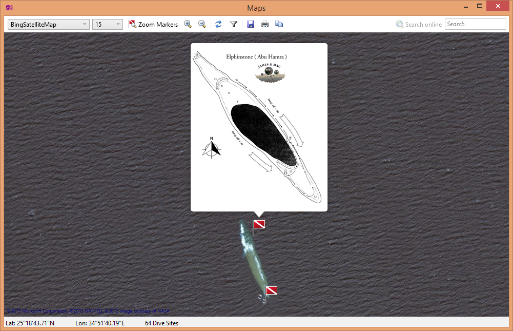
Historical wreck photo on top of the map
Another click on the image popup opens up the integrated image viewer so you can view it in full screen. Here are some more examples how you can use this feature:
Dive site drawing and satellite map, great for briefings
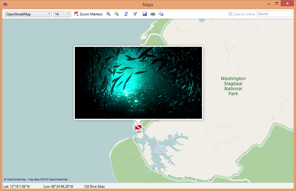
Underwater photo of this site
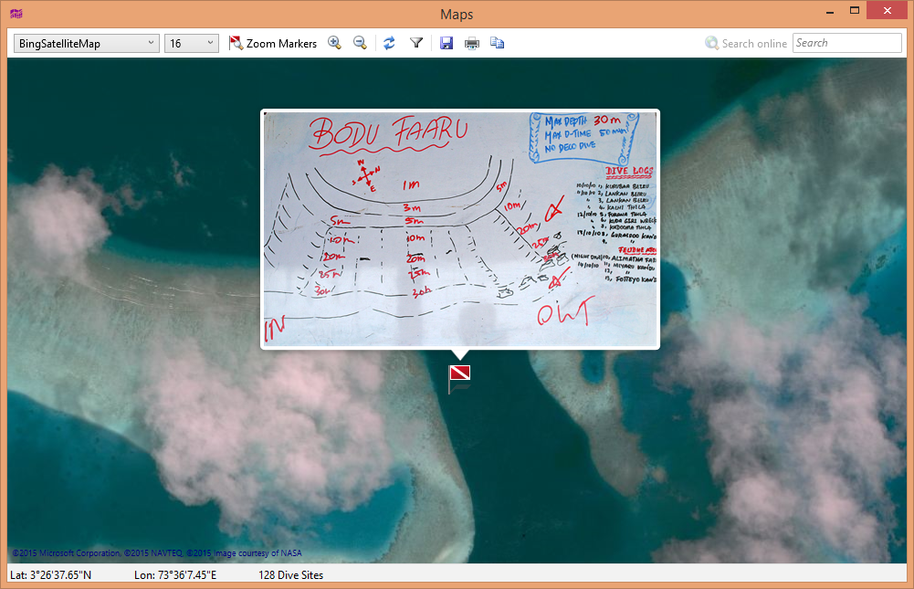
Photographed briefing whiteboard

Option to show all dive site labels
Tags: Diving Log 6.0, Maps
Looks great! Let me know when you have beta ready for testing or if you want some coding help 🙂
-Jesse
Very exciting
Wow…looks awesome…it just keeps getting better
Thank you!